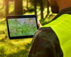
01. Flight Planning & Permits
Step 01
Defining mission objectives, mapping boundary parameters, conducting risk assessments, and obtaining airspace clearance authorizations.
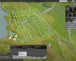
02. Autonomous UAV Deployment
Step 02
Deploying survey-grade multirotor and fixed-wing UAVs with RTK/PPK positioning to capture high-resolution spatial datasets.
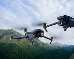
03. Photogrammetry & Spatial Processing
Step 03
Processing raw aerial captures into dense 3D point clouds, orthomosaic maps, Digital Elevation Models (DEM), and thermal layers.

04. Analytics & Client Handover
Step 04
Quality-checking spatial data outputs and delivering CAD/GIS-ready files, surface volumes, and actionable inspection reports.